The new edition of the Oxford International Student's Atlas is the ideal atlas for Secondary school students. It includes stunning satelite images alongside mapping to aid understanding, country data,
A comprehensive and authoritative account of how primary school children and teachers can use maps to enhance learning and deepen understanding of this essential skill. It includes all aspects of map
This new edition of the Oxford International Primary Atlas is clear, bright and informative. It includes up-to-date country data, easy-to-read colourful mapping, and worldwide topographic content, inc
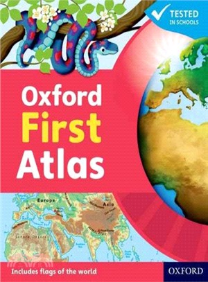
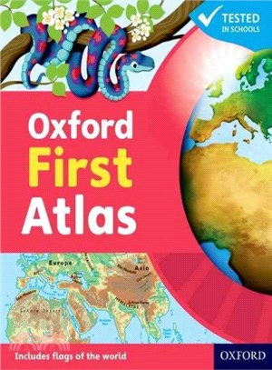
The Oxford First Atlas is an accessible and informative atlas for young learners in their first years at school. It is completely up-to-date, and features accurate and easy-to-read colourful mapping p
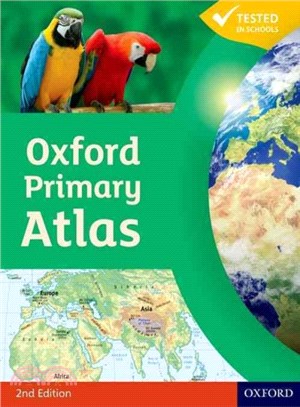
The Oxford Primary Atlas is a clear, bright and informative atlas for all 7-11 year olds. This new edition includes up-to-date country data and easy-to-read colourful mapping, presented in an accessib
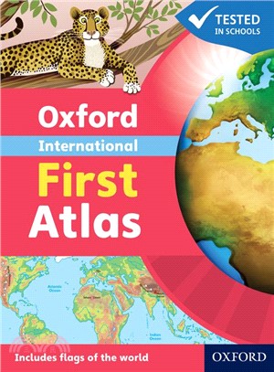
Have you ever wondered...* What the Earth looks like from space? * How many continents there are? * Where Mount Everest is? Find out in your very first atlas! The Oxford International First Atlas is a
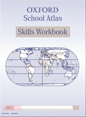
This new edition of the Oxford School Atlas includes country data and easy-to-read colourful mapping, presented in an accessible visual layout based on research into how students use maps. The atlas c
The Oxford Primary Atlas is a clear, bright and informative atlas for all 7-11 year olds. This new edition includes up-to-date country data and easy-to-read colourful mapping, presented in an accessib
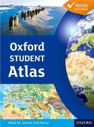
This new edition of the Oxford Student Atlas includes stunning satellite images, country data, and easy-to-read colourful mapping, presented in an accessible visual layout based on research into how s
This new edition of the Oxford School Atlas includes country data and easy-to-read colourful mapping, presented in an accessible visual layout based on research into how students use maps. The atlas c
This new edition of the Oxford Student Atlas includes stunning satellite images, country data, and easy-to-read colourful mapping, presented in an accessible visual layout based on research into how s
This workbook is designed to provide atlas activities to accompany the School Atlas. It adds value to the use of atlases in the classroom, giving practical extension to the teacher's existing resource
The Oxford Essential Atlas is specially designed for those students working within Levels 1, 2, and 3 of the National Curriculum across all year groups. It provides the structure and support needed fo
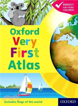
Have you ever wondered: * What the Earth looks like from space? * How many continents there are? * Where Mount Everest is? Find out in your very first atlas! The Oxford Very First Atlas is a stimulati
Have you ever wondered: * What the Earth looks like from space? * How many continents there are? * Where Mount Everest is? Find out in your very first atlas! The Oxford Very First Atlas is a stimulati
The Oxford First Atlas is an accessible and informative atlas for young learners in their first years at school. It is completely up-to-date, and features accurate and easy-to-read colourful mapping p
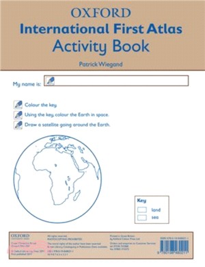
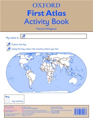
The Oxford Very First Atlas Activity Book develops the atlas skills and reinforces the concepts introduced in the Oxford Very First Atlas, such as the 'Earth in space', the world, continents, countrie