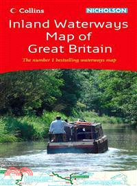
The map companion to the Collins/Nicholson Waterways Guides, covering the entire network of canal and river navigations in England, Scotland, and Wales, including newly restored/opened canals and rive
A heart-warming and inspirational tale in which Enzo, a loyal family dog, tells the story of his human family, how they nearly fell apart, and what he did to bring them back together.
This guide will help you experience the very best of Scotland. Whether visiting on pleasure or business, why settle for second-rate when you can be guided to so much that is outstanding? Here are thou
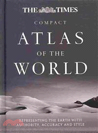
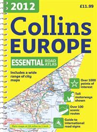
A completely revised edition of this convenient, small-format atlas in the world's most prestigious and authoritive world atlas collectionAll the mapping and information in this revised edition has be
An invaluable pocket-sized guide to the 100 popular bird species that you are most likely to find in your town, garden, or park. It also contains expert practical advice on encouraging birds to your g
A fascinating introduction to the different habitats and creatures to be found along the coastline. With more than 240 color photographs, this is the ideal guide to take on seashore rambles. Divided i
Sociology in Pictures: Research Methods is a fresh and exciting publication based on styles from graphic novels and comics. It introduces research methods using entertaining and informative pictures d
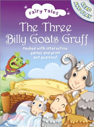
The classic tale of The Three Billy Goat's Gruff with beautiful, contemporary new illustrations. Listen to Josie Lawrence read your favourite fairytales as you play the games, print off colouring shee
"When my mother, Angela, was six years old, she felt sorry for the Baby Jesus in the Christmas crib at St. Joseph's Church near School House Lane where she lived..."Frank McCourt's Pulitzer Prize-winn
A complete natural history and the first large-scale survey of this unique part of the country.The borderland between England and Wales has long been a region of contention. Its distinctive geography,
A brand new range of practical little walk guides endorsed by the Ramblers. All the walks are five miles or under in length and can easily be completed in less that 3 hours. Twenty walks are included
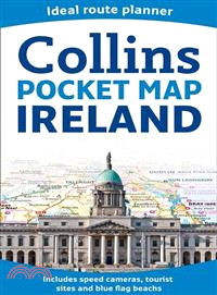
Handy little full color map of Ireland. It is double-sided with the south of Ireland up to and including Dublin on one side and from Dublin northwards on the reverse. Ideal for the pocket, bag, or glo
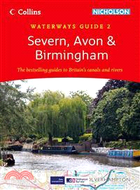
This popular guide covers the canals and waterways around Birmingham and the River Severn. Colour Ordnance SurveyR maps clearly show locks, towpaths, and boating facilities. There are also comprehensi
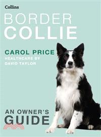
A guide to owning the overachiever of the dog world?eager to please, and a?glutton for more work or play?Border collies are a working breed and excel in agility as well as obedience training. This gui
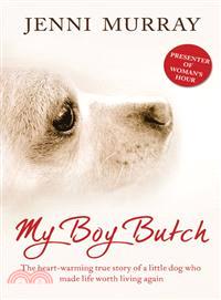
There was always a dog. If not real, then imagined. As a lonely only child, Jenni Murray longed to have a dog. She had only Timmy her imaginary pooch for company until her fifth birthday when her pare
This?fully revised edition of the A4 spiral road atlas contains road mapping, route planning maps, larger scale road maps of the Ruhr and Rhine, city through route maps, city center plans, and a compr
Completely new atlas for international schools, specifically designed for use by students aged 11–16 years studying the IGCSE Geography syllabus or equivalent national syllabusesThis atlas has been sp
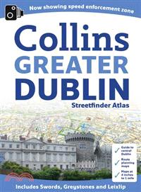
A handy format street atlas of Greater Dublin with clear, detailed street mapping?Scaled at?4.4 inches to 1 mile, this street mapping of Greater Dublin?is fully indexed. Fixed safety cameras have been