What drives some to violence against the state while others, living in the same place at the same time, turn to nonviolent resistance? And in this age of Islamist terrorism and Islamophobia, does the
A collection of memorable photographic images, journalistic accounts, maps, and graphics captures the year's most important, interesting, and fascinating people and events in such fields as current af
Maps & Destinations celebrates the large and small events of life through story, myth, and the contemplation of other works of art. Deep in the phenomenology of time and place, the poems are as ev
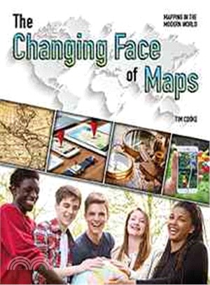
Examines the use of maps by governments, discussing the mapping of populations, the establishment of national and local boundaries, maps during a time of war, and the publication of national atlases.
Through memorable photos, informative graphics and maps and gripping minute-by-minute accounts, readers can relive the momentous year of 2012, as reported by TIME's worldwide staff of journalists and
Packed with facts, statistics and news from around the world, a top-selling annual reference covers a broad range of subjects and is complemented by hundreds of photographs, maps and interactive extra
Discover the fun facts about the world and become a master of geography with this interactive trivia book from Jeopardy! champ and New York Times bestselling author Ken Jennings.With this Junior Genius Guide to maps and geography, you’ll become an expert and wow your friends and teachers with clever facts: Did you know that the biggest desert in the world is actually covered in snow? Or that Christopher Columbus wasn’t the first to think that the Earth was round? With great illustrations, cool trivia, and fun quizzes to test your knowledge, this guide will have you on your way to whiz-kid status in no time!
Author of the 1956 best-selling examination of modern American society, The Organization Man , Whyte offers a personal account of the battle of Guadalcanal, with discussion of the lessons US armed fo
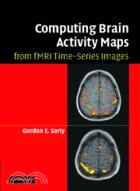
fMRI is a very popular method for researchers and clinicians to image human brain activity in response to given mental tasks. This book presents a comprehensive review of the methods for computing activity maps, while providing an intuitive and mathematical outline of how each method works. The approaches include statistical parametric maps (SPM), hemodynamic response modeling and deconvolution, Bayesian, Fourier and nonparametric methods. The newest activity maps provide information on regional connectivity and include principal and independent component analysis, crisp and fuzzy clustering, structural equation modeling, and dynamic causal modeling. Preprocessing and experimental design issues are discussed with references made to the software available for implementing the various methods. Aimed at graduate students and researchers, it will appeal to anyone with an interest in fMRI and who is looking to expand their perspectives of this technique.
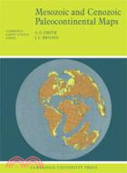
First published in 1977, this book shows the positions of the major continental areas during the past 220 million years as four series of computer-drawn maps. The maps have been drawn for the present day, 10 and 20 million years ago, then at 20-million-year intervals back to 220 million years. All the maps are based on quantitative geophysical or topographic information: paleomagnetic pole positions, ocean floor magnetic anomalies, and best fits of the continental margins. Mercator, north polar and south polar sterographic, and Lambert equal-area maps of each selected time interval are provided. Many interesting problems in the Earth Sciences are global; they need to be seen in a proper global setting. The maps provide such a framework on which a very wide range of geological information may be plotted. Problems in fields as widely separated as palenontology, stratigraphy, geochemistry and tectonics may usefully be displayed on these maps.
"Time Maps extends beyond all of the old cliches about linear, circular, and spiral patterns of historical process and provides us with models of the actual legends used to map history. It is a brilli