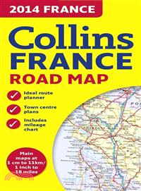
This new edition of the annually revised, politically colored map of France is the ideal map for planning and route-finding, from the Belgian and German borders in the north to the Spanish border in t
This new edition of the annually revised, politically colored map of Europe is the ideal map for planning and route-finding, from the North Cape to Gibraltar and from Ireland to east of Moscow.
Fully updated road mapping covers the whole of Britain, with each scale of mapping color-coded for ease of use The ultimate 3.2 miles to 1-inch scale, large-format road atlas for the year 2014 feature
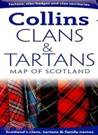
More than 140 Scottish clans are identified in this helpful map, along with illustrations of their tartans, cap badges, mottos, and plant badges. A map featuring height-shading shows the territories o
This mini edition has been brought fully up-to-date to reflect all recent global changesRevised mapping, updated statistics, and the latest interesting facts about the world are all included in this a
Designed for use in the classroom or at home, this revised edition includes informative, politically colored reference mapping of all major world regionsProviding an introduction to mapping of all maj
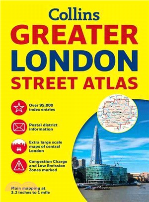
Incredibly detailed street level maps, with more than 40 categories of information, cover 1,660 square miles in and around London. Extra large scale central London maps at 6.3 inches to 1 mile make fo
National 5 Physics Practice Papers for SQA Exams will help you to prepare for the look and feel of the exam. All the papers will provide extensive practice and reflect the type and level of questions
A wealth of tourist information, extremely clear and attractive mapping, and detailed town center plans make this an essential purchase for visitors With attractive road mapping of the whole of Irelan
A new, fully updated edition of this paperback budget atlas in the stylish and authoritative Collins world atlas range Designed in the distinctive Collins style, this is the ideal atlas for school, ho
An updated touring map with the whole of Scotland on a double-sided sheet at 5 miles to 1 inchThis clear, easy to follow road map with color classified roads shows distances shown along major routes.
This route-planning map is extremely easy to use as it opens almost like a book. It has lamination on both sides, making it very hard wearing, and is presented in a plastic wallet. This durable lamina
A handy color map of the whole of Ireland is packed with detail and features clear and detailed mapping at a scale of 6.5 miles to 1 inch, ideal for easy journey planning This essential purchase for v
This practice book will build essential skills through activity-packed fun. The activities are designed to give children a real sense of achievement. This helps to boost their confidence and develop
This practice book will build essential skills through activity-packed fun. The activities are designed to give children a real sense of achievement. This helps to boost their confidence and develop
Inside this little book, you will discover all the hints and top tips for all day, everyday success with Bananagrams We all want to get one over on our friends and family when we play Bananagrams. M
A concise and excellent guide to Scottish history and how Scotland has come to be the country it is todayFrom prehistoric Scotland to the 2014 referendum for independence, this little book covers all
This workbook supports the new Key Stage 3 Programme of Study for Maths, providing focused skills practice for all the topics relevant to students in Year 8. It will help to reinforce key skills and b
This revision guide is matched to the new Key Stage 3 Programme of Study for Maths. It is intended for students who need to be challenged by more advanced material. It contains clear and accessible ex