More than 800 castles and fortified houses across Scotland are located and identified in this easy-to-use atlas that features an index listing visitor information and attractive illustrations. Basic
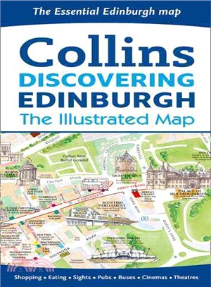
Edinburgh, home to the Scottish parliament, is on the itinerary of many visitors to Scotland. This brand new edition retains the delightful water-color mapping, with individual paintings of all the ma
An ideal reference for anyone traveling around Scotland who requires a handy formatThe easy-to-use format and inclusion of a range of city plans make this the ideal companion for traveling around Scot
This map is popular with walkers and visitors to the Lake District, featuring detailed layer-colored mapping on one easy-to-use sheet. The attractive layer tints, contour lines, and spot heights give
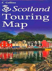
The official map of Scotland, published in association with Scotland's national tourist authority, Visit Scotland. A comprehensive map showing the locations of over 1700 places to visit and things to
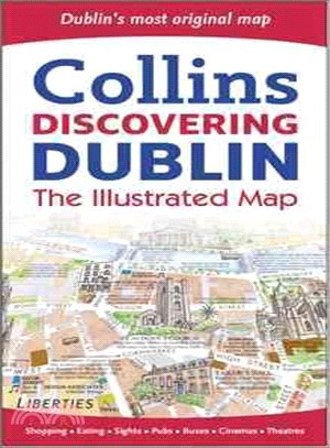
This product displays delightful water-color mapping, with individual paintings of all the main sights and landmarks in Dublin. It includes extra large scale maps of the Temple Bar and Grafton Street
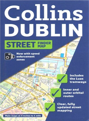
Full color map of Dublin with street level detail and full index to street names. For 2009 the map shows speed enforcement zones and cameras. The map has clear, color-classified streets named and numb
A slipcase containing three pocket-sized maps and guides: Whisky, Castles, and Clans and Tartans Perfect for visitors who want to capture the essence of Scotland, this box contains three booklets with
Full color map at 7.5 miles to 1 inch with a special emphasis on places of tourist interest in addition to a detailed road network. The shape of the land is shown by the use of attractive hillshading.
A brand new range of practical little walk guides endorsed by the Ramblers. All the walks are five miles or under in length and can easily be completed in less that 3 hours. Twenty walks are included
This official map of Scotland is published in association with Scotland's national tourist authority, Visit Scotland. A comprehensive map showing the locations of more than 1700 places to visit and th
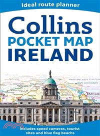
Handy little full color map of Ireland. It is double-sided with the south of Ireland up to and including Dublin on one side and from Dublin northwards on the reverse. Ideal for the pocket, bag, or glo
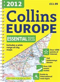
This?fully revised edition of the A4 spiral road atlas contains road mapping, route planning maps, larger scale road maps of the Ruhr and Rhine, city through route maps, city center plans, and a compr
Completely new atlas for international schools, specifically designed for use by students aged 11–16 years studying the IGCSE Geography syllabus or equivalent national syllabusesThis atlas has been sp
Full color map of Ireland at 9 miles to 1 inch, with clear, detailed road network and counties and administrative areas shown in color. Main Features: This popular map has clear political colouring wi
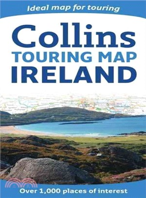
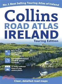
A wealth of tourist information, extremely clear and attractive mapping, and detailed town center plans make this an essential purchase for visitors?With attractive road mapping of the whole of Irelan
This full color double-sided map of Great Britain at 9 miles to 1 inch (1:550,000 approximately) has clear, detailed road network and administrative areas shown in color. With its political coloring o
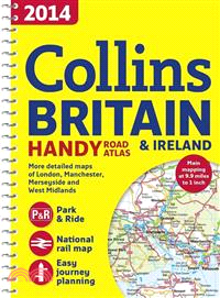
Fully updated for 2014, a collection of extremely clear, route-planning maps of Britain and Ireland that fits neatly into the glovebox, pocket, or bagThis handy road atlas makes for the ideal travelin
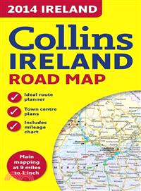
This full color map of Ireland at 9 miles to 1 inch (1:570,240) has clear, detailed road network and counties and administrative areas shown in color. In addition there are city center plans of Dublin