Applications for geographic information systems, more commonly referred to as GIS, have grown significantly in recent years. This book by Esri writer Mitchell is the third volume in a series and expla
GIS and Cartographic Modeling is a foundational work in the field of geographic information systems (GIS). An introduction to the concepts, conventions, and capabilities of map algebra as a general la
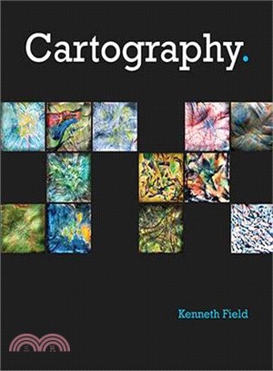
A lavishly illustrated reference guide, Cartography. by Kenneth Field is an inspiring and creative companion along the nonlinear journey toward making a great map.
The arrival of ArcGIS Pro has brought a challenge to ArcMap users. The new software is sufficiently different in architecture and layout that some workflows must be revisited or modified. Current ArcM
Geographic information systems (GIS) are now everywhere; the technology has become embedded in our society. GIS is a tool for everything from saving endangered wildlife to exploring distant planets.
Census workers need to capture and analyze information at the finest geographic level with mobile and geospatial-based technology. GIS and the 2020 Census: Modernizing Official Statistics provides sta
This book helps you understand and use Web GIS, a powerful mapping technology that is transforming the way we apply and share geographic information. Each "big idea" is part of the ArcGIS platform and
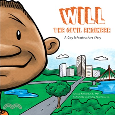
Follow along as Will learns about how everything that is built has an engineer and how he can be one, too! Part of a STEAM career-themed picture book series.Will’s dad is a civil engineer. He uses mat
Explore how imagery and remote sensing power modern GIS. With The ArcGIS Imagery Book, you will roll up your sleeves and quickly begin putting imagery to smarter, more skillful use with your GIS. Even
In the absence of adequate education concerning graphics, the power of visual perception is still underappreciated."The three dimensions of the image make visual perception our most powerful system of