商品簡介
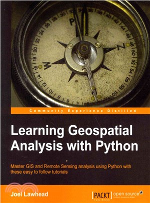
An effective guide to geographic information systems and remote sensing analysis using Python 3
About This Book
- Construct applications for GIS development by exploiting Python
- This focuses on built-in Python modules and libraries compatible with the Python Packaging Index distribution system—no compiling of C libraries necessary
- This practical, hands-on tutorial teaches you all about Geospatial analysis in Python
Who This Book Is For
If you are a Python developer, researcher, or analyst who wants to perform Geospatial, modeling, and GIS analysis with Python, then this book is for you. Familarity with digital mapping and analysis using Python or another scripting language for automation or crunching data manually is appreciated.
What You Will Learn
- Automate Geospatial analysis workflows using Python
- Code the simplest possible GIS in 60 lines of Python
- Mold thematic maps with Python tools
- Get hold of the various forms that geospatial data comes in
- Produce elevation contours using Python tools
- Create flood inundation models
- Apply Geospatial analysis to find out about real-time data tracking and for storm chasing
In Detail
Geospatial Analysis is used in almost every field you can think of from medicine, to defense, to farming. This book will guide you gently into this exciting and complex field. It walks you through the building blocks of geospatial analysis and how to apply them to influence decision making using the latest Python software.
Learning Geospatial Analysis with Python, 2nd Edition uses the expressive and powerful Python 3 programming language to guide you through geographic information systems, remote sensing, topography, and more, while providing a framework for you to approach geospatial analysis effectively, but on your own terms. We start by giving you a little background on the field, and a survey of the techniques and technology used. We then split the field into its component specialty areas: GIS, remote sensing, elevation data, advanced modeling, and real-time data.
This book will teach you everything you need to know about, Geospatial Analysis from using a particular software package or API to using generic algorithms that can be applied. This book focuses on pure Python whenever possible to minimize compiling platform-dependent binaries, so that you don't become bogged down in just getting ready to do analysis. This book will round out your technical library through handy recipes that will give you a good understanding of a field that supplements many a modern day human endeavors.
Style and approach
This is a practical, hands-on tutorial that teaches you all about Geospatial analysis interactively using Python.
主題書展
更多書展本週66折
您曾經瀏覽過的商品
購物須知
外文書商品之書封,為出版社提供之樣本。實際出貨商品,以出版社所提供之現有版本為主。部份書籍,因出版社供應狀況特殊,匯率將依實際狀況做調整。
無庫存之商品,在您完成訂單程序之後,將以空運的方式為你下單調貨。為了縮短等待的時間,建議您將外文書與其他商品分開下單,以獲得最快的取貨速度,平均調貨時間為1~2個月。
為了保護您的權益,「三民網路書店」提供會員七日商品鑑賞期(收到商品為起始日)。
若要辦理退貨,請在商品鑑賞期內寄回,且商品必須是全新狀態與完整包裝(商品、附件、發票、隨貨贈品等)否則恕不接受退貨。


